The Aborigines of North America
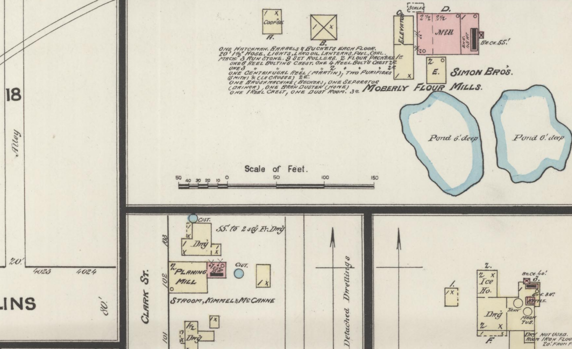
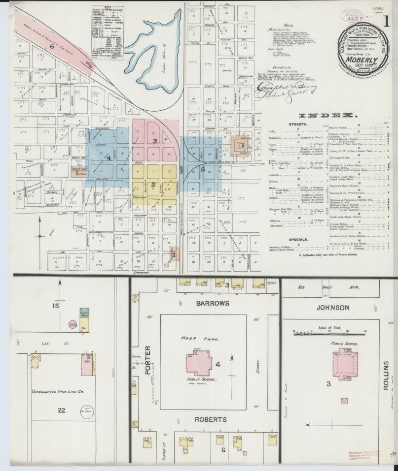
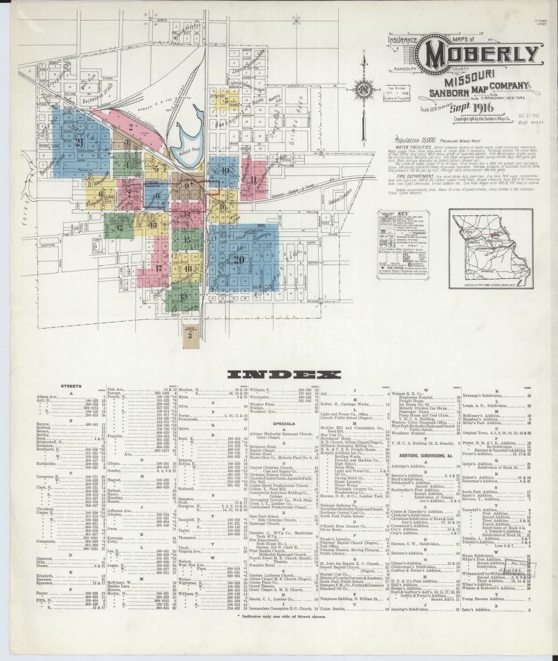
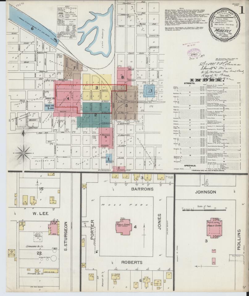
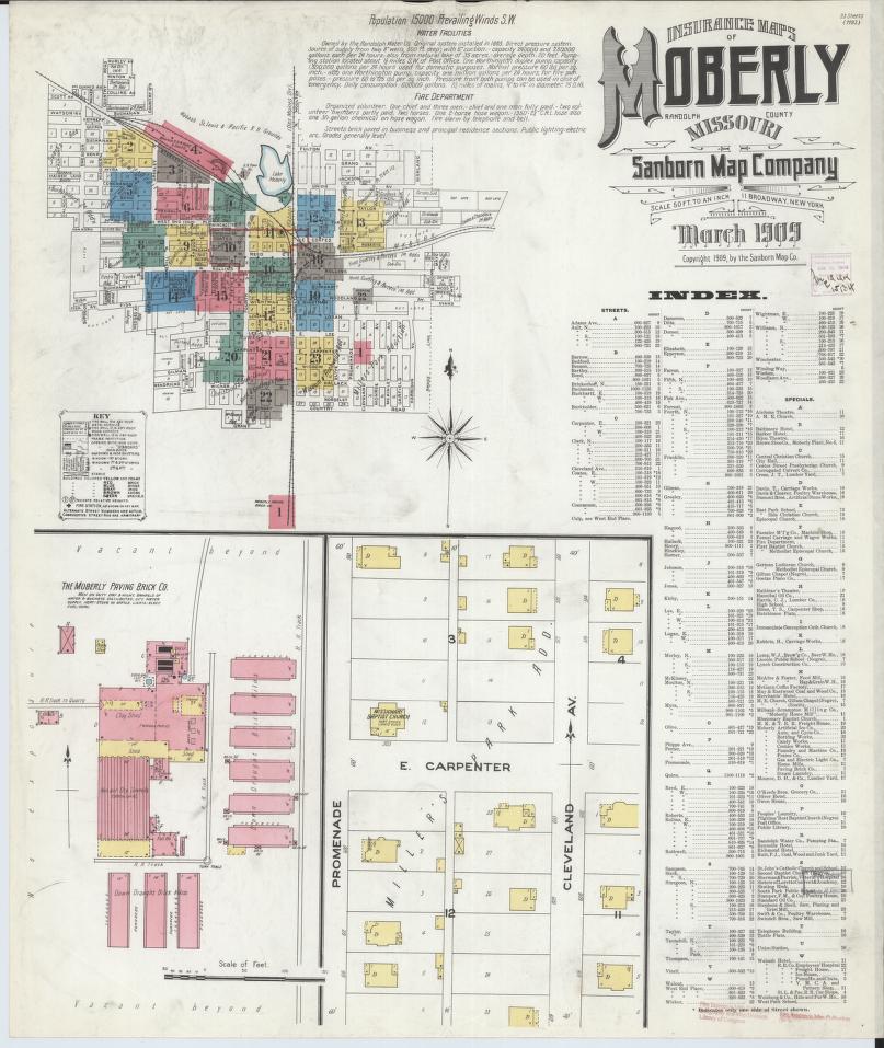
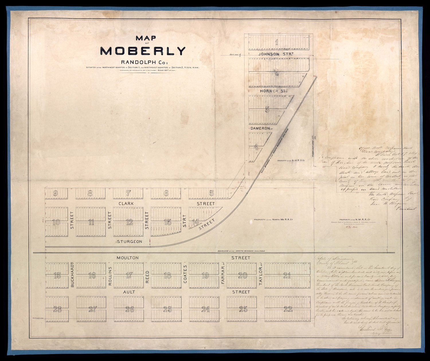
vintage maps of Randolph County, Mo
Step back in time and explore the cartographic treasures of Randolph County, Missouri, through our collection of vintage maps. These historical maps offer a unique perspective on the evolution of the region, showcasing its early settlements, changing landscapes, and the intricate details of days gone by. We invite you to contribute to this historical tapestry by submitting any vintage maps from the years 1800 to 1950 that you may have in your possession. Help us build a comprehensive archive that preserves the cartographic history of Randolph County and provides a valuable resource for fellow history enthusiasts. Join us in celebrating the past and preserving its visual legacy for generations to come.
Map Resources and Citations
Standard atlas of Randolph County, Missouri. Publisher Chicago : Geo. A. Ogle & Co., c1910.
https://digital.shsmo.org/digital/collection/plat/id/9071
Higbee Publisher Chicago Geo. A. Ogle & Co. c1910.
Submit a Map for Inclusion
Randolph Historical Black Society
Committed To Reconnecting Our Bloodlines
At Randolph County Historical Black Society, we are committed to providing you with resources to assist in locating history and genealogy of the Indigenous Americans of Randolph County.
Join Us in Building Our Database
This project is a new one that is long overdue. It is time to take control of our Ancestor’s information, do you agree? Assist us in building the RHBS database by submitting Ancestral Documents/Records for inclusion.

